Local News Video
WLOX Snow Day, 2 p.m. (1/21/25)
SUMMARY: A rare winter storm in South Mississippi has resulted in significant snowfall, transforming the region into a winter wonderland. Live reports from Gulfport highlight families and pets enjoying the snow, with people building snowmen and engaging in playful activities. Despite the beautiful scene, travel remains hazardous, as many bridges are closed, and roads are difficult to navigate. The snowfall is unprecedented for the area, prompting joy among residents who have rarely experienced such weather. While some braved the roads, many were encouraged to stay safe and enjoy the winter beauty close to home. The event is expected to be memorable for all.
Continuous coverage of the historic southern snow.
For more Local News from WLOX: https://www.wlox.com/
For more YouTube Content: https://www.youtube.com/channel/UCQZgBHlQMqHUV_hf4_9jLLQ
Local News Video
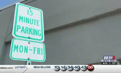
15-minute parking spots added in downtown Gulfport to ease congestion during renovations
SUMMARY: In Gulfport, eight temporary 15-minute parking spots are being added near the Hancock Whitney Bank to reduce congestion during upcoming renovations. The bank building, located across Highway 49, is set to be renovated, though no official start date has been determined. City leaders hope these short-term parking spots will ease traffic by accommodating customers using the bank’s drive-thru, where parking is currently limited, especially at peak times. These spots will remain in place until the renovation work is finished, improving access for customers to enter and exit quickly while construction occurs in downtown Gulfport.
Eight 15-minute parking spots will be temporarily added at the Hancock Whitney Bank in Gulfport. For more Local News from …
Local News Video
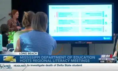
Statewide literacy meetings aim to boost reading skills and family engagement
SUMMARY: The Mississippi Department of Education is hosting a series of statewide literacy meetings this month to improve reading skills and family engagement. One meeting took place at Reeves Elementary in Long Beach, aiming to review Mississippi’s Literacy-Based Promotion Act, a 2013 state law promoting comprehensive reading instruction for children. The department and Long Beach School District emphasize the importance of involving families in this process, as a solid literacy foundation benefits children’s lifelong learning and fluency. These meetings provide an opportunity to equip parents with effective tools to support their children’s literacy development and overall success in education and life.
The Mississippi Department of Education is hosting a series of literacy meetings across the state this month.
For more Local News from WLOX: https://www.wlox.com/
For more YouTube Content: https://www.youtube.com/channel/UCQZgBHlQMqHUV_hf4_9jLLQ
Local News Video
Saints Report: Saints lose another close game this time in week two against the San Francisco 49ers
SUMMARY: The New Orleans Saints lost a close game in week two against the San Francisco 49ers, 26-21, at the Caesar Superdome. Despite missing key 49ers players, the Saints struggled early but fought back with touchdowns by Rasheed Shahid and Devon Ble. A critical fourth-down sack of Spencer Rattler sealed their fate. Coach Kell Moore praised the team’s effort but emphasized the need for better situational play and seizing opportunities. The Saints aim to improve as they prepare to face the Seattle Seahawks next Sunday, September 21st. Reporting from the Caesar Superdome, Ever Gier Jr., WXXV News25 Sports.
-
News from the South - North Carolina News Feed6 days ago
What we know about Charlie Kirk shooting suspect, how he was caught
-
Local News7 days ago
Russian drone incursion in Poland prompts NATO leaders to take stock of bigger threats
-
News from the South - North Carolina News Feed6 days ago
Federal hate crime charge sought in Charlotte stabbing | North Carolina
-
Local News Video7 days ago
Introducing our WXXV Student Athlete of the Week, St. Patrick’s Parker Talley!
-
The Center Square7 days ago
Weapon recovered as manhunt continues in Kirk assassination investigation | National
-
Our Mississippi Home5 days ago
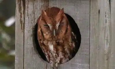
Screech Owls – Small but Cute
-
News from the South - Tennessee News Feed7 days ago
Middle Tennessee State University dean filed over Kirk comments | Tennessee
-
News from the South - Arkansas News Feed6 days ago
NW Arkansas Championship expected to bring money to Rogers


